
C
GéographieN° 73448
Le Sentier (Indre-et-Loire)
Le Sentier est une ancienne commune d'Indre-et-Loire, annexée en 1822 par Monthodon.
ATQ2 900DEF1 000
Le Sentier est une ancienne commune d'Indre-et-Loire, annexée en 1822 par Monthodon.
CommuneGéographien° 73 448
Le Sentier est une ancienne commune d'Indre-et-Loire, annexée en 1822 par Monthodon.
Le Sentier est une ancienne commune d'Indre-et-Loire, annexée en 1822 par Monthodon.
Le Sentier est une ancienne commune d'Indre-et-Loire, annexée en 1822 par Monthodon.
Le Sentier est une ancienne commune d'Indre-et-Loire, annexée en 1822 par Monthodon.
 SSR
La Corse (en corse et en italien Corsica) ou l'île de Beauté est une île située en mer Méditerranée, à l'ouest de la péninsule italienne, au nord de la…
 SSR
Lille (Rijsel en néerlandais, Rysel en flamand, Lile en picard), est une ville du Nord de la France.
 SSR
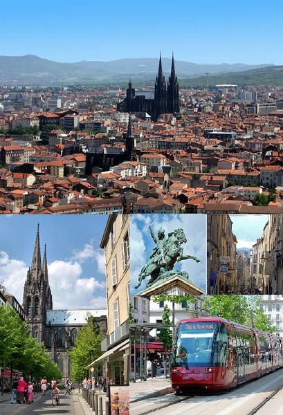
Clermont-Ferrand est une ville du centre de la France, située dans le Massif central en région Auvergne-Rhône-Alpes.
 SSR
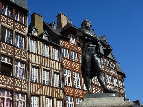
Rennes est une commune du nord-ouest de la France, chef-lieu du département d'Ille-et-Vilaine et de la région Bretagne.
 SSR
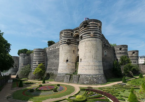
Angers (prononcer) est une commune de l'Ouest de la France traversée par la Maine, chef-lieu et siège de la préfecture du département de Maine-et-Loire dans…
 SSR
Grand Raid Le Grand Raid est le principal ultra-trail organisé sur l'île de La Réunion, département d'outre-mer français dans l'océan Indien.
 SSR
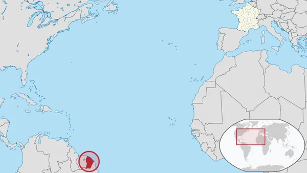
La Guyane (; en créole guyanais : Lagwiyann) est une collectivité territoriale unique française située en Amérique du Sud, bordée au nord par l'océan…
 SSR
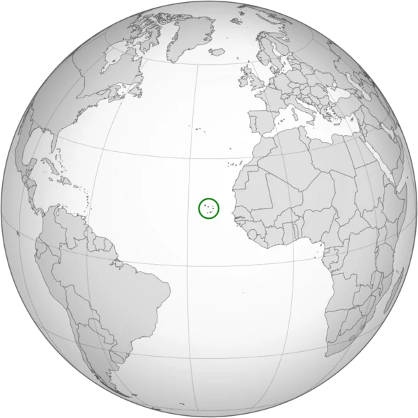
Le Cap-Vert, officiellement Cabo Verde, en forme longue la république du Cap-Vert ou république de Cabo Verde, est un État insulaire d'Afrique de l'Ouest,…
Texte : Wikipédia, « Le Sentier (Indre-et-Loire) », licence CC BY-SA 4.0. Comment jouer.