 C
GéographieN° 402575
Tangamandapio
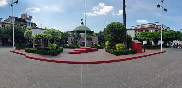
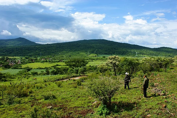
Tangamandapio est une municipalité de l'État du Michoacán, au Mexique.
ATQ2 590DEF1 300
CTangamandapio est une municipalité de l'État du Michoacán, au Mexique.
CommuneGéographien° 402 575
CTangamandapio est une municipalité de l'État du Michoacán, au Mexique.
CHTangamandapio est une municipalité de l'État du Michoacán, au Mexique.
CRBTangamandapio est une municipalité de l'État du Michoacán, au Mexique.
Tangamandapio est une municipalité de l'État du Michoacán, au Mexique. En 2020, elle compte 31 716 habitants. Son chef-lieu est Santiago Tangamandapio.
 SSR
La Corse (en corse et en italien Corsica) ou l'île de Beauté est une île située en mer Méditerranée, à l'ouest de la péninsule italienne, au nord de la…
 SSR
Lille (Rijsel en néerlandais, Rysel en flamand, Lile en picard), est une ville du Nord de la France.
 SSR
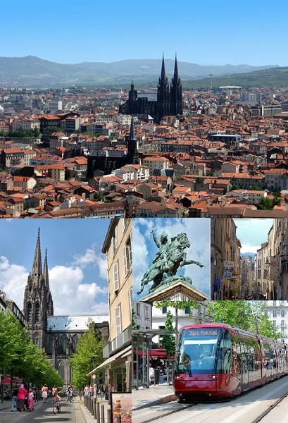
Clermont-Ferrand est une ville du centre de la France, située dans le Massif central en région Auvergne-Rhône-Alpes.
 SSR
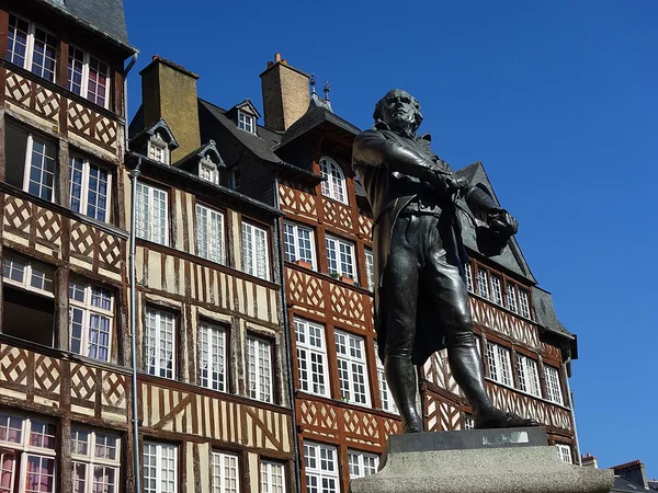
Rennes est une commune du nord-ouest de la France, chef-lieu du département d'Ille-et-Vilaine et de la région Bretagne.
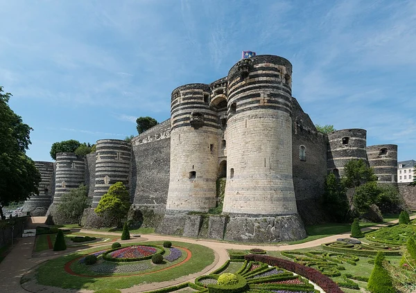 SSR
Angers (prononcer) est une commune de l'Ouest de la France traversée par la Maine, chef-lieu et siège de la préfecture du département de Maine-et-Loire dans…
 SSR
Grand Raid Le Grand Raid est le principal ultra-trail organisé sur l'île de La Réunion, département d'outre-mer français dans l'océan Indien.
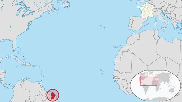 SSR
La Guyane (; en créole guyanais : Lagwiyann) est une collectivité territoriale unique française située en Amérique du Sud, bordée au nord par l'océan…
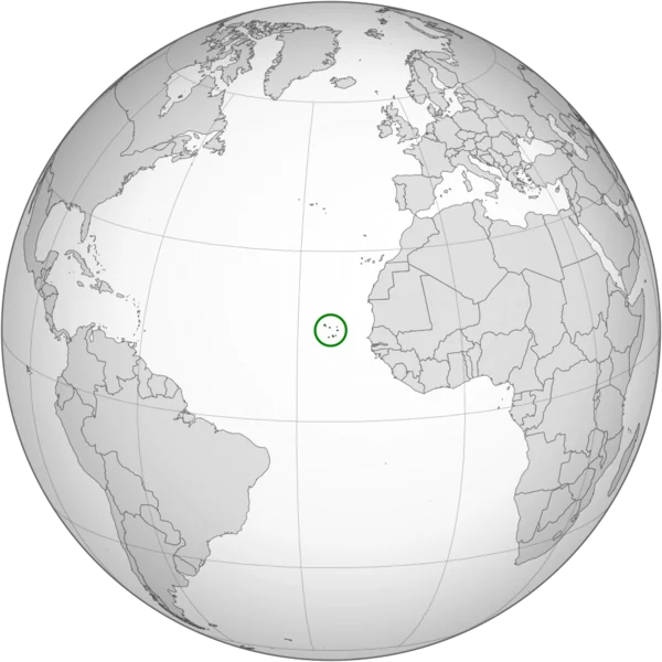 SSR
Le Cap-Vert, officiellement Cabo Verde, en forme longue la république du Cap-Vert ou république de Cabo Verde, est un État insulaire d'Afrique de l'Ouest,…
Texte : Wikipédia, « Tangamandapio », licence CC BY-SA 4.0. Image : Feria de Productores, CC BY 2.0, via Wikimedia Commons (recadrée). Comment jouer.