 C
GéographieN° 287512
Atlas of the Counties of England and Wales
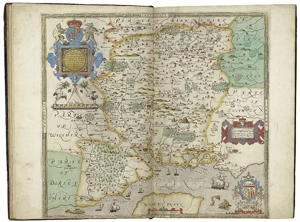
L'Atlas of the Counties of England and Wales est un atlas géographique publié en 1579 par Christopher Saxton.
ATQ3 010DEF1 480
CL'Atlas of the Counties of England and Wales est un atlas géographique publié en 1579 par Christopher Saxton.
CommuneGéographien° 287 512
CL'Atlas of the Counties of England and Wales est un atlas géographique publié en 1579 par Christopher Saxton.
CHL'Atlas of the Counties of England and Wales est un atlas géographique publié en 1579 par Christopher Saxton.
CRBL'Atlas of the Counties of England and Wales est un atlas géographique publié en 1579 par Christopher Saxton.
L'Atlas of the Counties of England and Wales est un atlas géographique publié en 1579 par Christopher Saxton. Dédié à Élisabeth Ire, il s'agit du premier atlas représentant avec précision l'ensemble des subdivisions d'un État-nation, en l'occurrence les comtés de l'Angleterre et du pays de Galles. L'histoire bibliographique du travail de Christopher Saxton est complexe. L'édition partielle commence a priori en 1574.
 SSR
La Corse (en corse et en italien Corsica) ou l'île de Beauté est une île située en mer Méditerranée, à l'ouest de la péninsule italienne, au nord de la…
 SSR
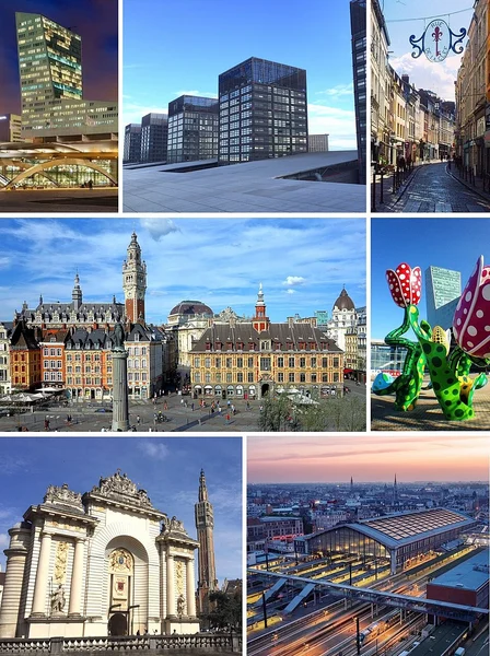
Lille (Rijsel en néerlandais, Rysel en flamand, Lile en picard), est une ville du Nord de la France.
 SSR
Clermont-Ferrand est une ville du centre de la France, située dans le Massif central en région Auvergne-Rhône-Alpes.
 SSR
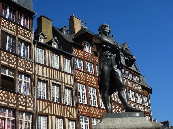
Rennes est une commune du nord-ouest de la France, chef-lieu du département d'Ille-et-Vilaine et de la région Bretagne.
 SSR
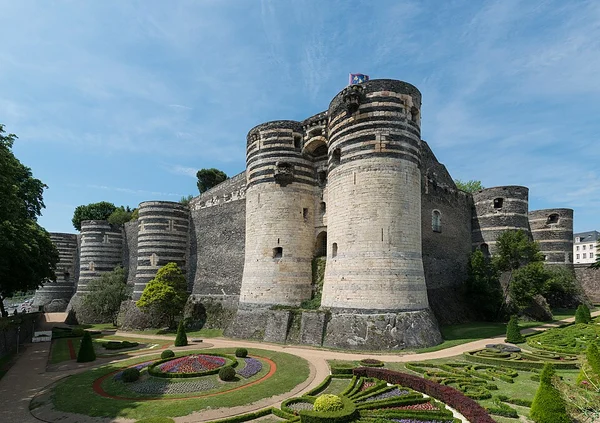
Angers (prononcer) est une commune de l'Ouest de la France traversée par la Maine, chef-lieu et siège de la préfecture du département de Maine-et-Loire dans…
 SSR
Grand Raid Le Grand Raid est le principal ultra-trail organisé sur l'île de La Réunion, département d'outre-mer français dans l'océan Indien.
 SSR
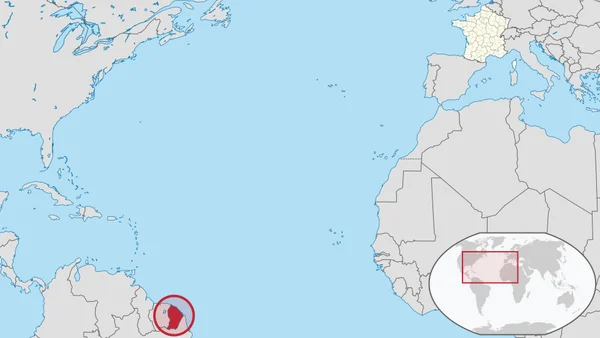
La Guyane (; en créole guyanais : Lagwiyann) est une collectivité territoriale unique française située en Amérique du Sud, bordée au nord par l'océan…
 SSR
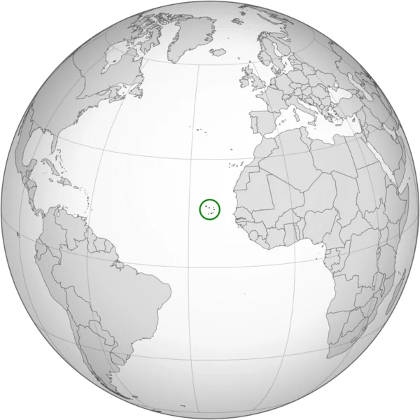
Le Cap-Vert, officiellement Cabo Verde, en forme longue la république du Cap-Vert ou république de Cabo Verde, est un État insulaire d'Afrique de l'Ouest,…
Texte : Wikipédia, « Atlas of the Counties of England and Wales », licence CC BY-SA 4.0. Image : Christopher Saxton, CC BY-SA 4.0, via Wikimedia Commons (recadrée). Comment jouer.
